
Supplement the Jobsite
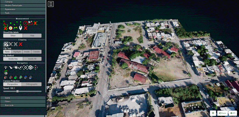
Aerial Data Collection:
Precise control of your operation:
Data that we provide is useful in site planning, SW3P planning and progress monitoring
Schedule quarterly site inspections to keep your projects running smooth